BUILDING RESILIENCE IN THE WATERSHED
Regional Collaboration with the Charles River Flood Model
Flood Predictions Become Flood Solutions
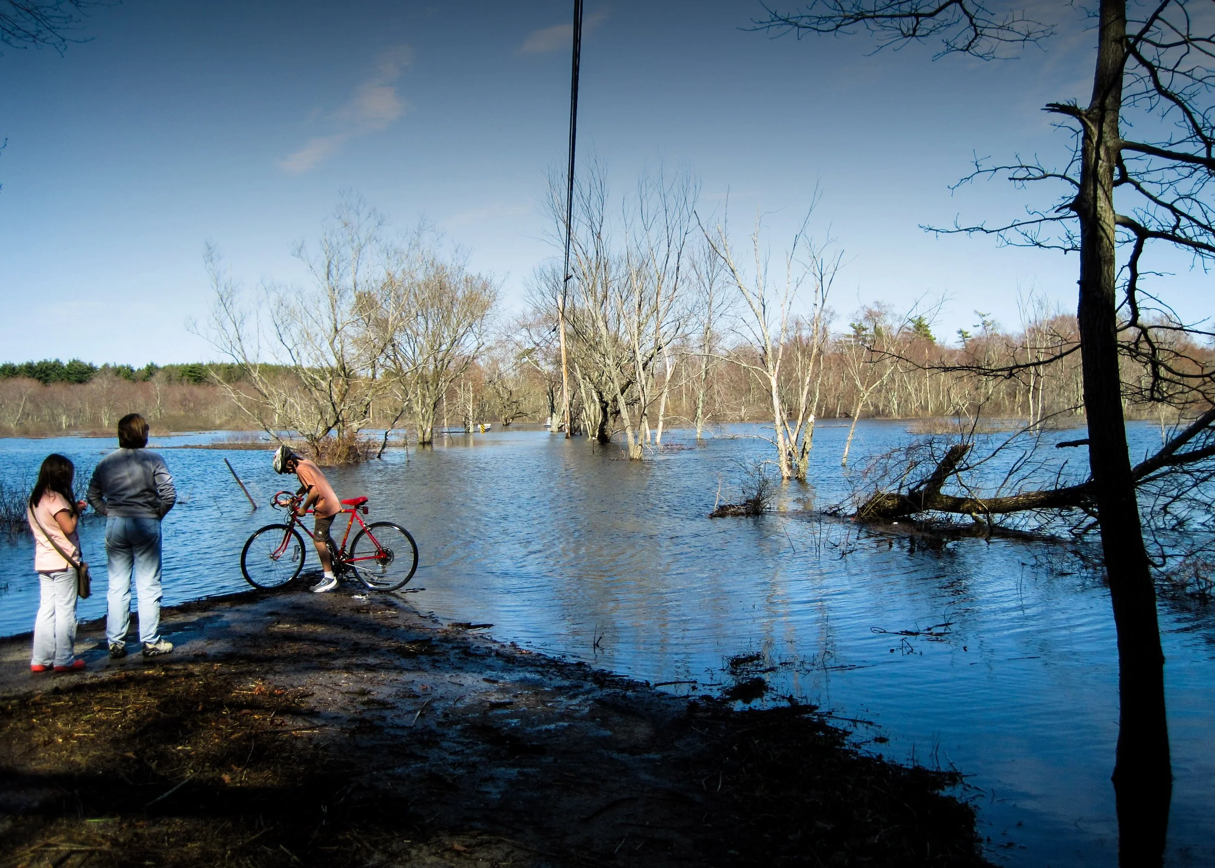
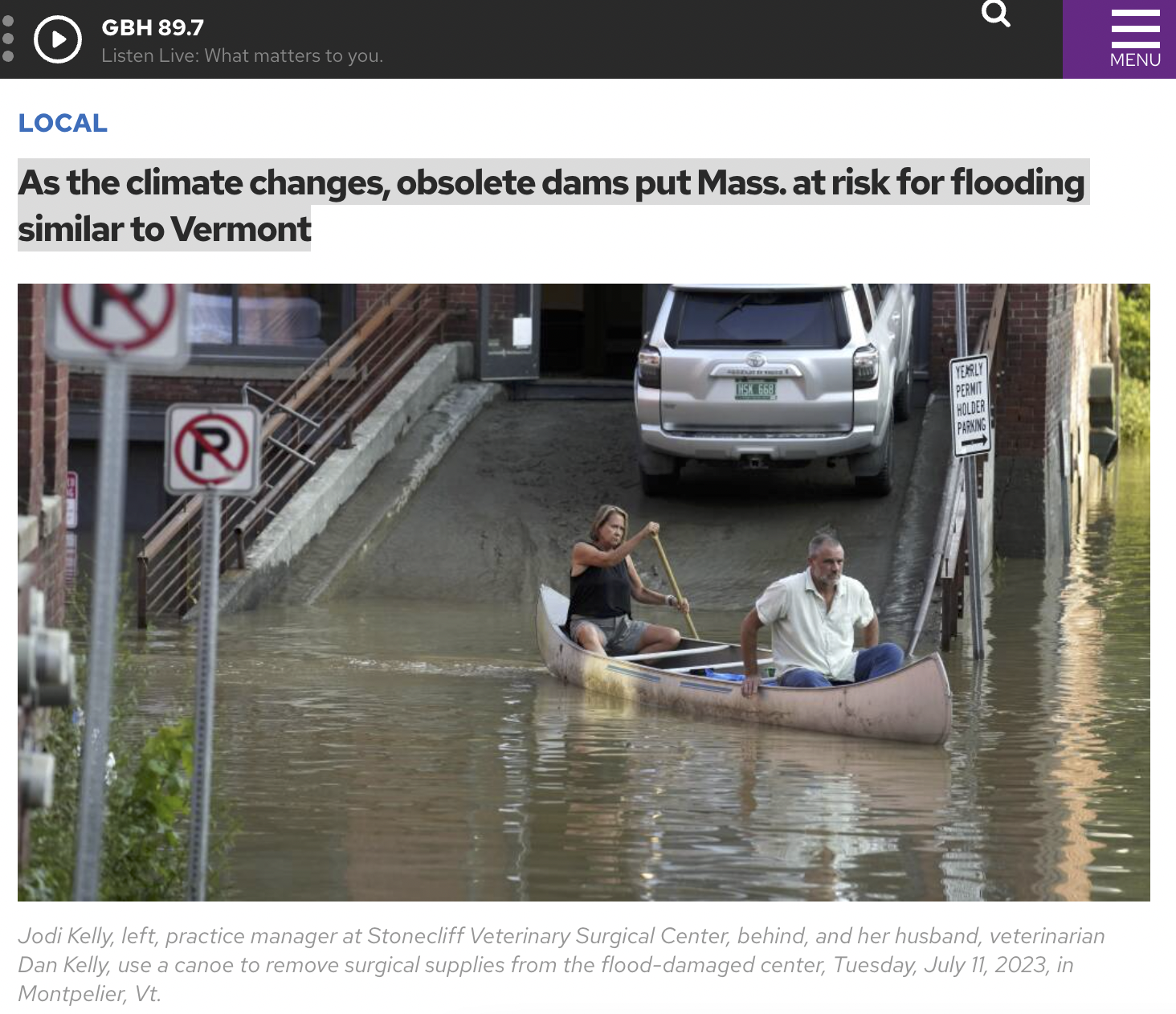
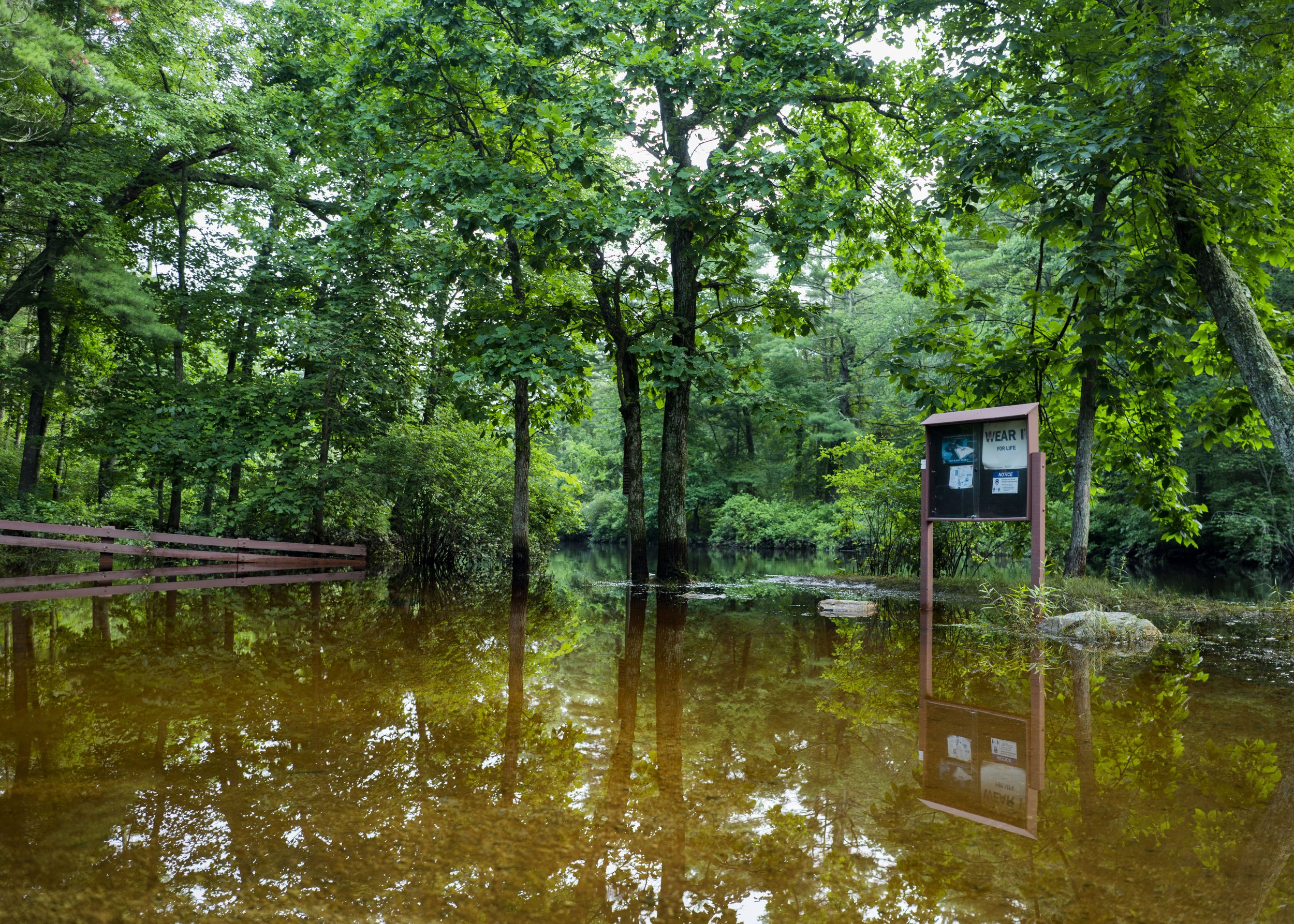
Climate change isn’t coming–––it's here. Precipitation during heavy rain events increased by 60% between 1958 and 2022 in the northeastern United States. And, as our climate continues to warm, we are expecting even more severe storms.
What does this mean for you? More flooding. A few more inches of rainfall across the watershed has the potential to increase the Charles River’s volume by millions of gallons during a storm. And, in our highly urbanized watershed that is home to over a million people, that means homes, businesses, critical infrastructure, and more are vulnerable to flood damage.
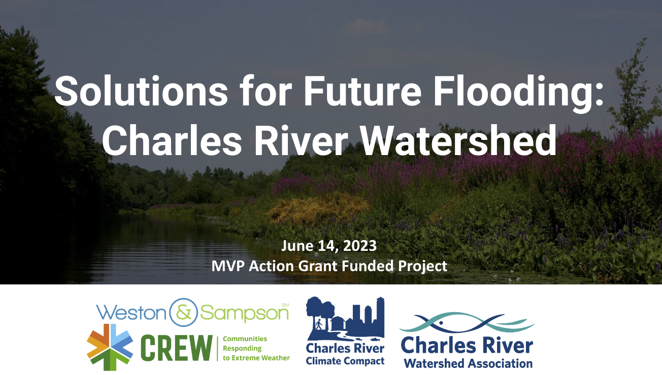
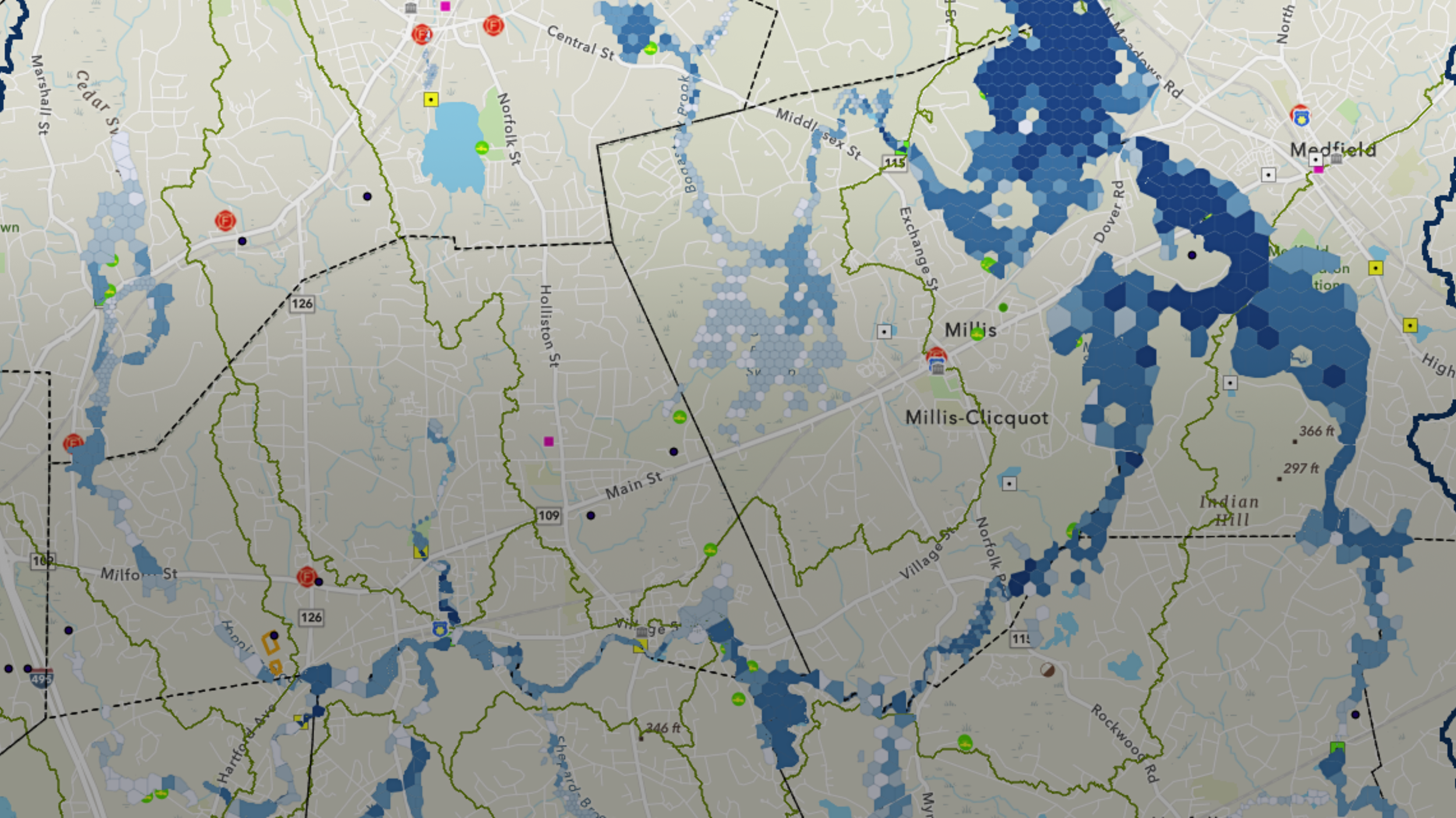
Charles River Flood Model
A watershed-scale simulation developed with twenty cities & towns to show how increased precipitation and inland flooding will affect our communities and test out mitigation solutions.
FLOOD SOLUTIONS IN YOUR NEIGHBORHOOD
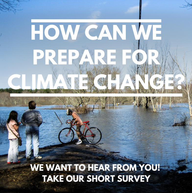
We Want to Hear From You!
WATCH OUR LATEST WEBINAR
Take our 5-minute survey to help guide the project team to identify solutions reflecting YOUR community's needs.
A Regional Collaboration.
Flooding doesn’t follow political boundaries–––the Charles River Flood Model demonstrates the regional impacts of flooding, including how upstream activities can reduce or exacerbate downstream flooding.
This initiative is a collaboration between Charles River Watershed Association, twenty cities and towns of the Charles River Climate Compact (CRCC), Weston & Sampson, and Communities Responding to Extreme Weather (C.R.E.W). With a regional outlook, we're able to better understand inland flooding impacts and determine the most effective solutions.
Do you see your town? Participating communities include Arlington, Dedham, Franklin, Holliston, Medway, Millis, Natick, Needham, Newton, Norfolk, Sherborn, Watertown, Wellesley, Weston, Wrentham, Boston, Cambridge, Dover, Bellingham, Waltham.

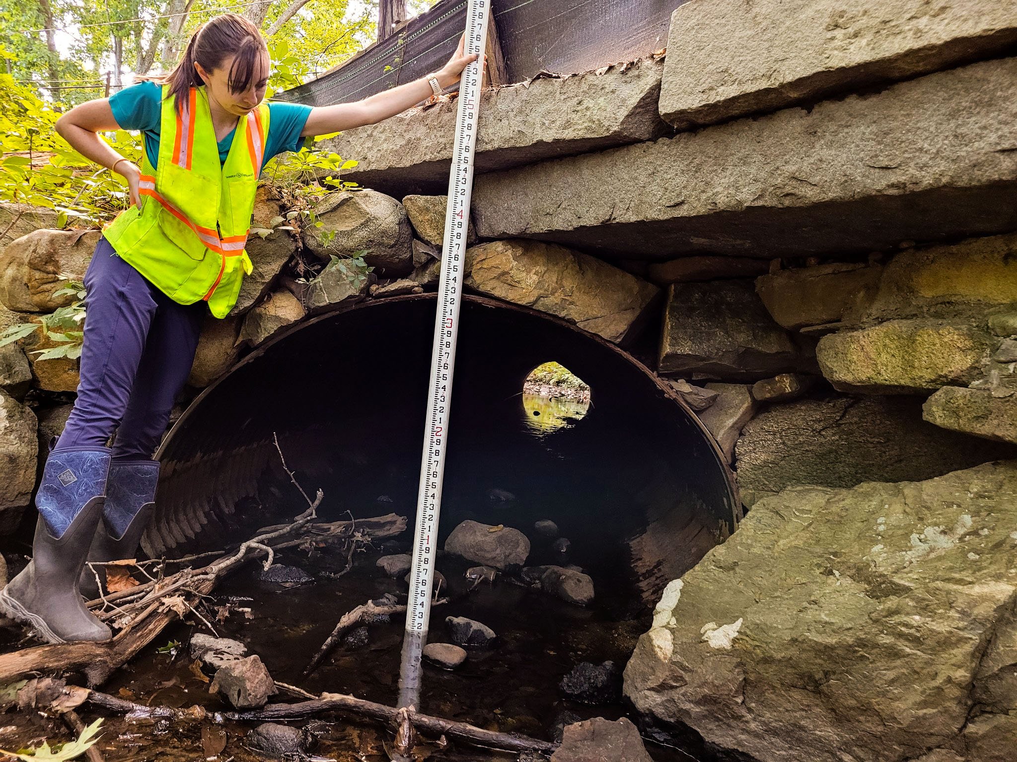
Developing the Charles River Flood Model
The Charles River Flood Model (CRFM) was originally developed in 2021 and has since undergone two major updates, the most recent of which occurred in 2024. The CRFM covers the upper and middle Charles River watershed, an area of 273 square miles. It is covered by and run in accordance with a U.S. EPA-approved QAPP.
Future climate storm scenarios for the CRFM were determined following the recommendation of the state’s Resilient Mass Action Team (RMAT).
Read project reports from June 2024 and June 2022 to learn more about how we developed the model and what we discovered. (Appendix)

Building Resilience in the Watershed Initiative
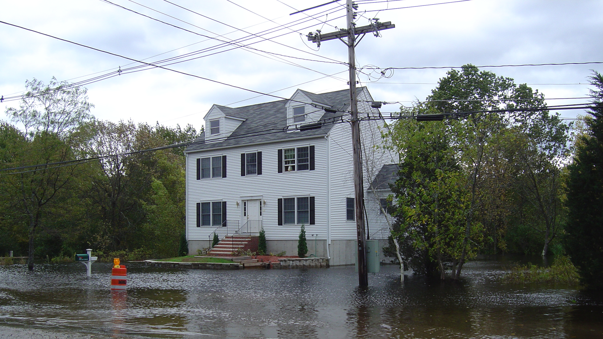
The Charles River Flood Model confirms that flooding will be considerably worse by 2070. Today, a so-called "10-year storm", which has a 1% chance of occurring in any given year, causes about 10,400 acres of flooding under current conditions. But, by 2070, due to climate change, the same storm event will flood 11,800 acres, an increase of almost 1,400 acres that currently do not flood. The increase for the 100-yr event is close to 2,000 acres.
Our watershed is not prepared for this scale of inundation. But, we are rising to this challenge.
Building Resilience in the Watershed Initiative focuses on mitigating precipitation-based flooding in the Charles River watershed to create a more climate-resilient future.
Read our 2024 Nature-based Regional Flood Mitigation Plan for the Charles River.
Identifying Flood Solutions
Together, the team, with public input from residents, has identified numerous flood mitigation strategies, which have been assessed by the Charles River Flood Model.
Potential solutions have been assessed at three scales: watershed-wide, subwatershed, and site-specific (below).
Watershed-Scale Strategies
Watershed-scale strategies assume changes across the entire study area. Two broad types of strategies have been investigated: Systematic and Targeted.
Check out our StoryMaps
Learn how the flood model was developed in Charles River Flood Model Part: Stormwater Modeling
Learn about site-specific flood mitigation strategies in Priority Site Concept Designs
Priority Solutions
The Charles River Flood Model was used to model the benefits of flood mitigation-focused conceptual designs at multiple sites across the watershed. Conceptual designs focus on nature-based solutions, including green stormwater infrastructure, reducing impervious cover, land conservation, stream and wetland restoration, and increasing tree canopy. To date, the project team has identified priority interventions for flood storage and developed concept designs for Hardy Pond, Waltham, Waltham Priority Impact Area, Albemarle Park, Newton, Longfellow Pond in Wellesley, Weston Town Center, Natick High School, and Oakland Park, Medway.
Four subwatershed areas, also called impact areas, were selected for detailed flood mitigation designs: Milford, Norfolk/Wrentham, Waltham/Weston, and Dedham/Boston.
LEARN HOW WE IDENTIFY PROJECTS:
NATICK & WELLESLEY:
NEWTON:
WALTHAM, WESTON & MILFORD:
HARDY POND, WALTHAM & MEDWAY
Watch all past recorded webinars on our YouTube page & check out our Priority Site Concept Designs StoryMap.
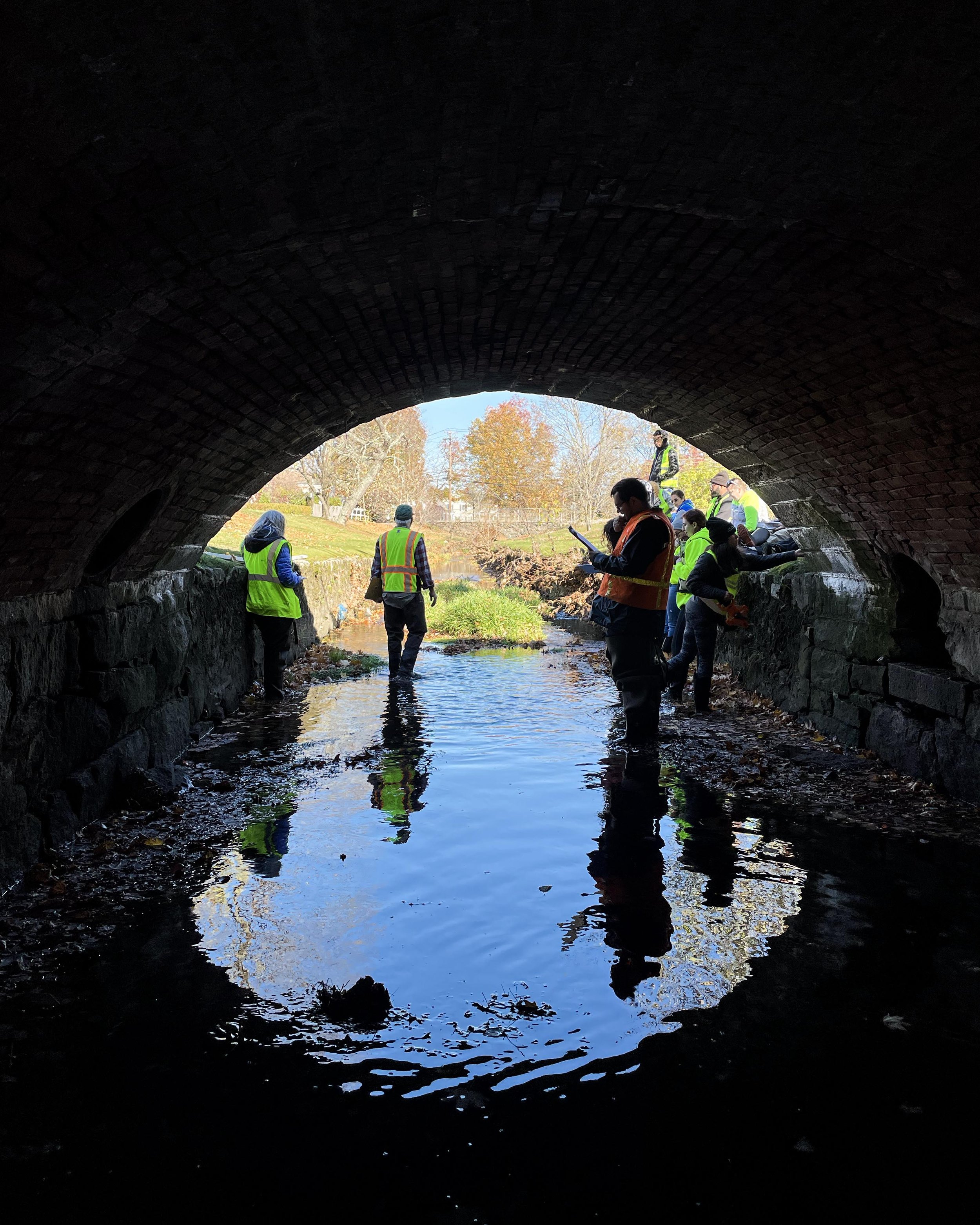
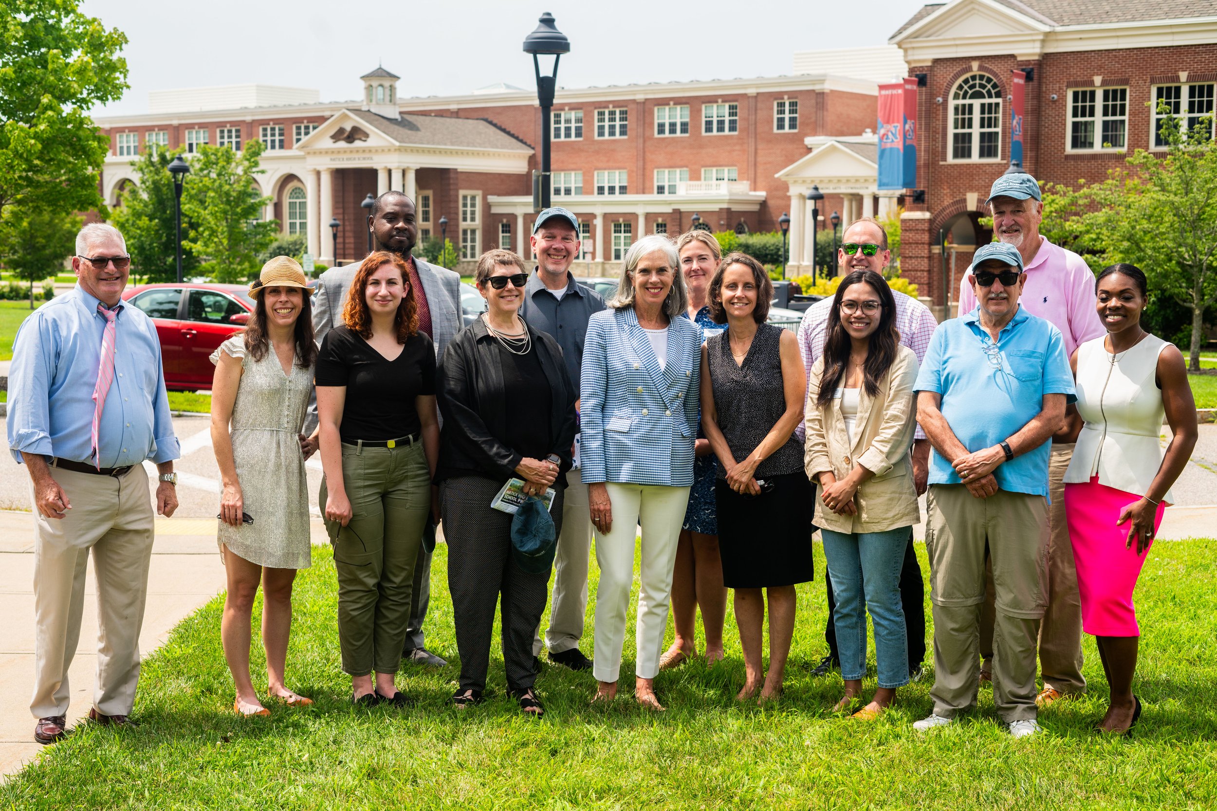
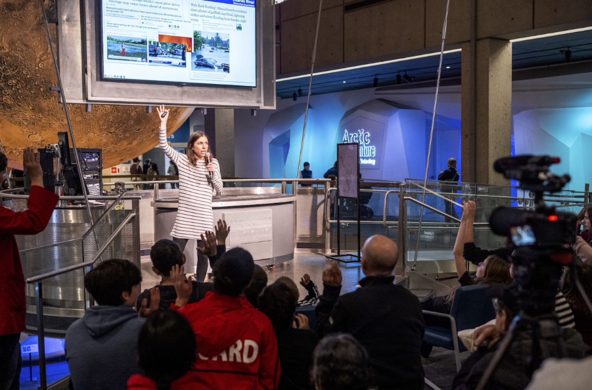
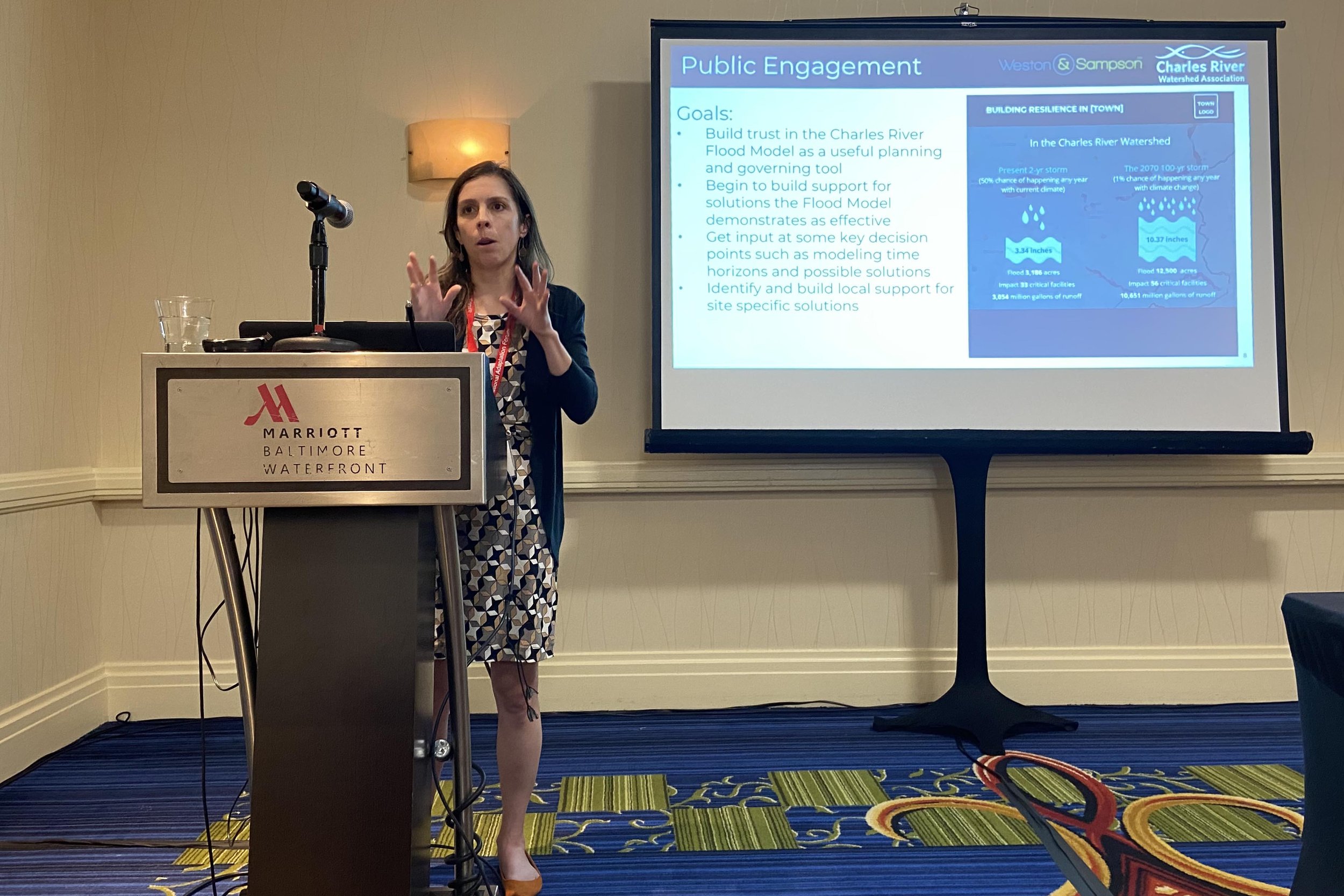
Community Engagement
This work includes going into the community to ask what solutions residents would like to see. Team member Communities Responding to Extreme Weather (C.R.E.W.) leads the initiative’s community engagement. They are bringing the Charles River Flood Model to you! From lively virtual events to detailed surveys, interviews, tabling, workshops, and presenting at in-person community events we've been able to meaningfully connect with hundreds of community members and raise awareness about climate preparedness and solutions.
With input from over 500 residents in 2024 alone, we identified more nature-based solutions to test in the flood model. Results show that to keep our communities safe and environmentally resilient, our actions need to be AMBITIOUS and WIDESPREAD.


What We’re Heard from Watershed Residents
“Also, thank you for your work on flood models and mitigation plans. My home rests easier!” - Webinar attendee
“I appreciate the engagement…to reduce climate-related impacts we are expecting” - Survey respondee
“This is very informative. Living in downtown Boston, I am interested in what solutions are available for highly urbanized areas.” - Webinar attendee
Recommendations
from the CRFM
1
2
Take Broad and Aggressive Action!
Actions are needed all across the watershed, we cannot achieve success by ignoring some areas and only focusing on others. Due to the size of the anticipated rain events, actions must be aggressive (by today’s standards).
3
Use a Science-Based Approach to Implement Solutions Where They are Most Effective
In communities where a one size fits all aggressive stormwater regulation is not presently an option, exploring a variable approach demonstrates promise. Towns should invest in specific municipal projects that the model identifies as promising, prioritize areas for land conservation as available, and consider flood overlay districts with variable requirements in different areas of town.
4
Work With Residents to Identify and Implement Projects
Continue to identify, investigate, and implement site-specific projects to address local concerns, particularly those impacting critical infrastructure, EJ neighborhoods, or climate-vulnerable residents. Identify and implement individual projects in partnership with residents/resident groups.
Look to the community/citizen groups to identify restoration opportunities that have a flood mitigation benefit
Work with residents/groups to gain support for projects identified through municipal planning processes to facilitate implementation and access external funds
5
Explore Regional Governance Structures
The state should explore governance structures for regional climate adaptation as has been done in other states. These entities could facilitate implementation, particularly in situations where actions will vary across the region and within a town. It could build upon the success of the Natural Valley Storage Area and protect more undeveloped land, which modeling shows is providing de facto flood control.
6
Strong Stormwater Regulations to Target Flooding
Communities should consider adopting the Watertown Rule or something equivalent. System(s) should be developed to accommodate situations where compliance is technically or financially infeasible.
Start Taking Action NOW.
Read the 2024 Final Project Report >
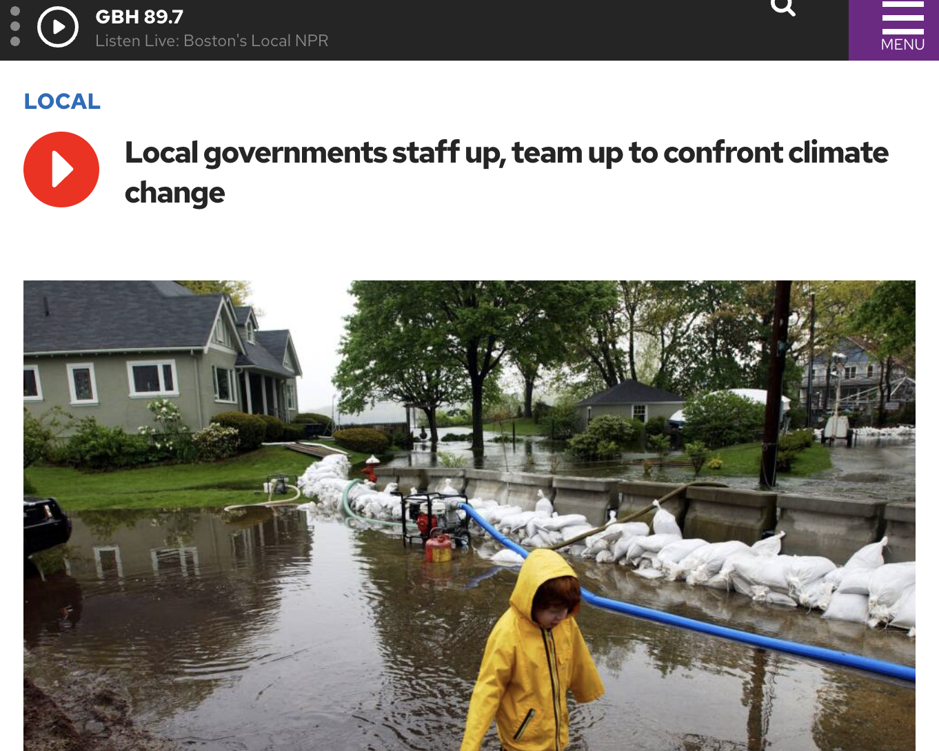
Recent News